
The Skydive Chicago airport moved to Dayton 24 years ago, but whoever made a new bicycle trail map for the Illinois Department of Transportation is just now finding out. The LaSalle County map shows the airport in the former Autumnwood Dr. Ottawa location, which it left in 1998. An IDOT spokeswoman told us the airport location is incorrect, but everything else on the map is right. She says a corrected map will be put online as soon as possible.
During the last week, IDOT announced new bicycle trail maps for the whole state. They can be found online and downloaded. Or you can order a printed version. The maps show bicycle trails, recommended bike routes in cities, and various points of interest. You can find out more about the maps at this link.
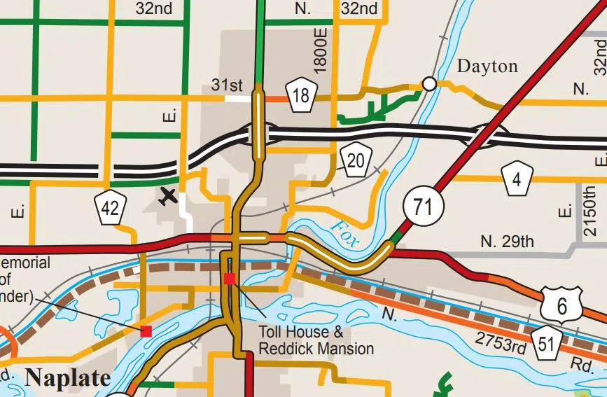
The Illinois Department of Transportation’s LaSalle County bicycle trail map shows the Skydive Chicago airport where it used to be. The airport has been north of Dayton since 1998.